Website Search
Find information on spaces, staff, and services.
Find information on spaces, staff, and services.
"History," said Alexis de Tocqueville, "is a gallery of pictures in which there are a few originals and many copies." The collection assembled here will help you get closer to some of those originals. Selected by librarians, scholars, and other subject specialists along a wide range of criteria, this collection includes published materials as well as archival documents. The items were digitized from a variety of formats including books, manuscripts, sound recordings, photographs, maps, and other resources.
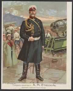
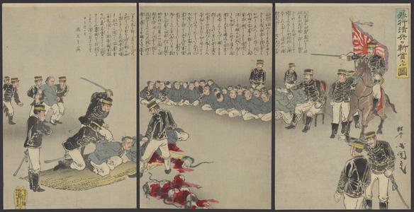
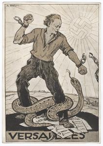
Are you interested in the Crusades? We present a 6-volume work edited by Kenneth M. Setton—truly a collaborative and comprehensive treatment of the topic. Do you like almanacs and anecdotes? Check out Chambers's Book of Days. Here you can click on any date and find out, as of the original publication date of 1879, what R. Chambers of Philadelphia considered important about it. Intrigued by military history? We give you World Wars I and II from many angles, including a "close to home" account of Mildred Fish Harnack, a Wisconsin-born and educated woman who was executed in Germany in 1943 by direct order of Adolph Hitler. These are just a few of the diverse historical glimpses to be found in our digital "gallery."
This compilation (including design, introductory text, organization, and descriptive material) is copyrighted by University of Wisconsin System Board of Regents.
This copyright is independent of any copyright on specific items within the collection. Because the University of Wisconsin Libraries generally do not own the rights to materials in these collections, please consult copyright or ownership information provided with individual items.
Images, text, or other content downloaded from the collection may be freely used for non-profit educational and research purposes, or any other use falling within the purview of "Fair Use".
In all other cases, please consult the terms provided with the item, or contact the Libraries.
Copied!