Website Search
Find information on spaces, staff, and services.
Find information on spaces, staff, and services.
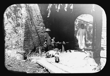
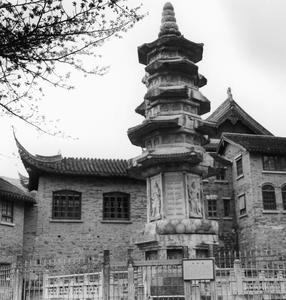
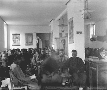
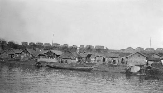
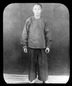
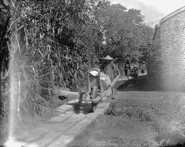
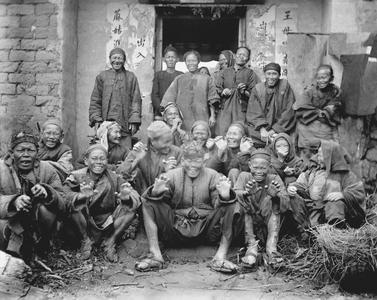
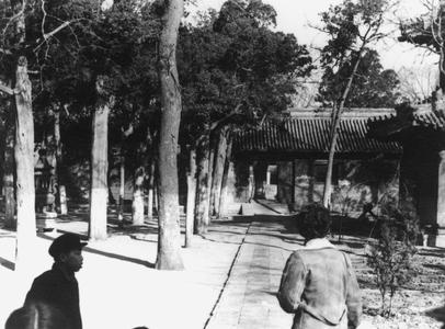
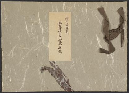
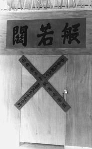
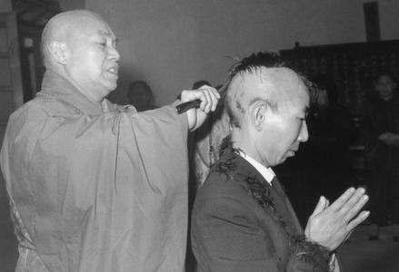
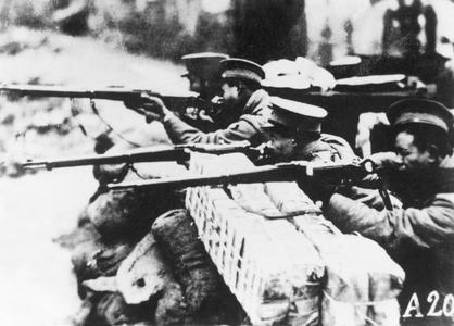
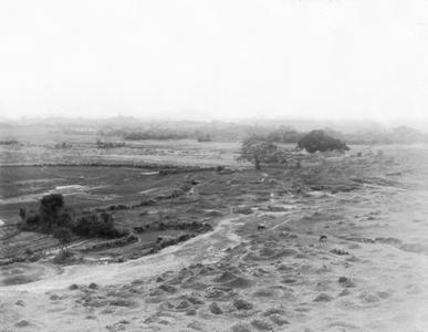
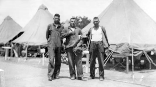
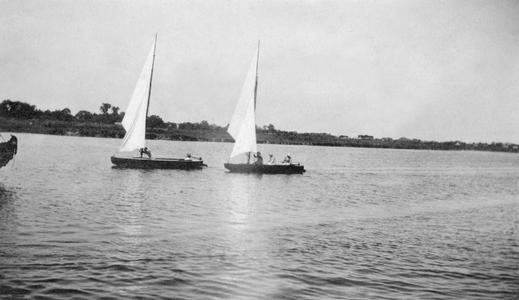
The East Asian Collection includes historical images that present a visual archive of 20th century East Asian cultural heritage. Currently, the collection consists of images that document early 20th century China including the the Sino-Japanese Conflict (1937-1945), a visual history of Buddhist practices and temples in China, and other images of daily life in both rural and urban China. The completed project will be a valuable resource for research into this region and its history.
This compilation (including design, introductory text, organization, and descriptive material) is copyrighted by University of Wisconsin System Board of Regents.
This copyright is independent of any copyright on specific items within the collection. Because the University of Wisconsin Libraries generally do not own the rights to materials in these collections, please consult copyright or ownership information provided with individual items.
Images, text, or other content downloaded from the collection may be freely used for non-profit educational and research purposes, or any other use falling within the purview of "Fair Use".
In all other cases, please consult the terms provided with the item, or contact the Libraries.
Copied!