Board of Commissioners of Public Lands

Home

Search

Land Survey Information

Site Use Information

Links

Credits

Copyright

  
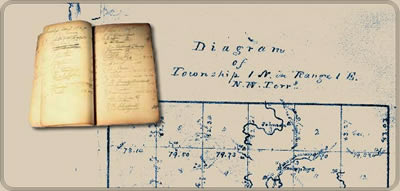
Wisconsin Public Land Survey Records:
Original Field Notes and Plat Maps

Wisconsin Public Land Survey Records

The field notes and plat maps of the public land survey of Wisconsin are a valuable resource for original land survey information, as well as for understanding Wisconsin's landscape history. The survey of Wisconsin was conducted between 1832 and 1866 by the federal General Land Office. This work established the township, range and section grid; the pattern upon which land ownership and land use is based. The survey records were transferred to the Wisconsin Board of Commissioners of Public Lands after the original survey was completed. Since that time, these records have been available for consultation at the BCPL's office in Madison, as hand-transcriptions, and more recently on microfilm. Now, they are being made available via the internet as electronic images.

Before beginning a search for survey records, users, especially those who have not used this site previously, are strongly encouraged to read the background material provided. This information has been developed to assist in understanding, the process of the public land survey and how to interpret the records, as well as to understand the search techniques for this site.

Much of the credit for this project is due to the University of Wisconsin-Madison, General Library System. This organization did the original imaging of the field notes, as well as the developing and hosting of this website.

This website remains a work in progress. Your assistance is needed to continue to develop and improve this website. Please send any comments or suggestions you may have to bcpl.info@wisconsin.gov.

Township Reference Diagram (opens a new window)

 
   Wisconsin.Gov Board of Commissioners of Public Lands  |  UW-Madison Libraries
Technical Assistance  |  Content/Navigation Questions